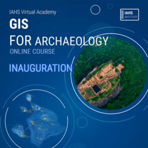
Institute of Archaeology and Heritage Studies commenced its initial course; GIS for Archaeology on 11 January 2020 and the inauguration ceremony was held via online. With the purpose of providing opportunity for those who are willing to acquire knowledge in the field of archaeology and GIS technology, to learn about the application of GIS technology in the field of archaeology, the course will be conducted during two-months period by Mr. Supun Siriwardana and Ms. Darshani Samanmali; two specialists in the field of GIS.
පුරාවිද්යා හා උරුම අධ්යයන ආයතනය එහි මූලික පාඨමාලාව ලෙස පුරාවිද්යාව සඳහා GIS පාඨමාලාව 2020 ජනවාරි 11 වන දින ආරම්භ කළ අතර එහි සමාරම්භක උත්සවය අන්තර්ජාලය හරහා පවත්වන ලදී. පුරාවිද්යා ක්ෂේත්රයේ GIS තාක්ෂණය භාවිතා කිරීම පිළිබඳව පුරාවිද්යා ක්ෂේත්රය හා GIS තාක්ෂණය පිළිබඳව දැනුම සොයා යන පිරිසට ඉගෙන ගැනීමට අවස්ථාව ලබා දීමේ අරමුණින් මෙම පාඨමාලාව මාස දෙකක කාලයක් තුළ GIS ක්ෂේත්රයේ විශේෂඥයන් දෙදෙනෙකු වන සුපුන් සිරිවර්ධන මහතා සහ දර්ශනි සමන්මලී මහත්මිය විසින් පවත්වනු ලැබේ.